
AGTEK SmartDirt
AGTEK Development Company Inc.
Available on Google Play
5.0(5)
1,000+ installsFreeBusiness
Updated Aug 21, 2026 · v3.10.0

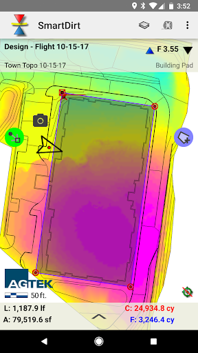


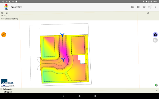
View and analyze your AGTEK takeoff and grid maps and plan sheets.
SmartDirt uses your AGTEK takeoff to display the geo-referenced 3D model, data lines, and plansheets on your smartphone and tablet. Show Cut-Fill as you walk on the interactive grid map or switch to the plans as needed. Select points to see elevations, coordinates, station & offset, point labels and approximate distance from your location. Measure slope or distance with a tap or estimate earthwork quantities with the measure tool. Take pictures, create notes, or create tracks that can be read by Sitework 4D or Google Earth.
8 years on Google Play
This app isn't currently appearing in any tracked top charts.
Rating breakdown
5★
5
4★
0
3★
0
2★
0
1★
0