
AquaHub
Updated Dec 29, 2025 · v1.0.21




Water Quality Reports
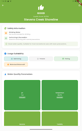
AquaHub is the open map of water quality, built by citizens, guided by science. It helps you explore beaches, fountains, rivers, springs and lakes, see their condition at a glance, and add your own observations. AquaHub turns water data into something visible, useful and trustworthy. Key features Live water map: Discover natural and urban water sources, with clear color codes and status labels (drinkable, unsafe, swimming suitable, caution). Quick & advanced reporting: Share simple checks (clear/turbid, potable or not) or detailed measurements (pH, turbidity, temperature, nitrates, conductivity) — plus photos for credibility. Community trust system: Reports are weighted for reliability, duplicate data is filtered, and verified partners like universities or municipalities can certify results. Filters & search: Find water by safety, type (spring, fountain, river, lake), or recent updates. Save favorites to revisit quickly. Smart alerts: Get notified when bookmarked spots change status, when new reports appear nearby, or when seasonal advisories matter. Offline ready: Record your observations in the field and sync them automatically when you’re back online. Why AquaHub matters Clean water is everyone’s responsibility. AquaHub makes it easy to share what you see, trust what others report, and act with more confidence. Every drop of information adds up to a safer, smarter water ecosystem.
0 years on Google Play
This app isn't currently appearing in any tracked top charts.