
C7 GPS Dados
UFSM - Laboratório de Geomática
Updated Aug 16, 2021 · v12.0


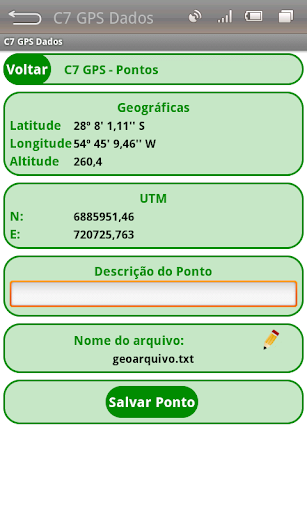


Survey of points and maps with area calculations
The C7 GPS Application Data aims to obtain coordinates of individual points (waypoints) or tracks, allowing the storage of the same file on a GeoTXT. This system is a simplification of the C7 GPS mesh whose modeling is focused on the application of Precision Agriculture, however features a new graphic design, enables the graphical display of the constellation of satellites tracked and the received signal strength of each. The coordinates of the current position are displayed in decimal degrees geographic, hexagesimais and also in UTM projection. With the data stored in files can be processed calculations of area and perimeter of polygons and the total distance traveled on a track recorded.
13 years on Google Play
This app isn't currently appearing in any tracked top charts.