
ArcGIS Field Maps Beta
Updated Jun 17, 2026 · vVARY




Where Field Work Gets Done
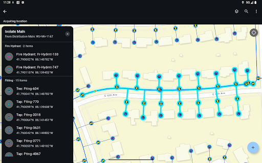
ArcGIS Field Maps is Esri’s premier maps app. Use Field Maps to explore the maps you make in ArcGIS, collect and update your authoritative data, and record where you’ve gone, all within a single location-aware application. With ArcGIS Field Maps, you can: - View high quality, cartographic maps created using ArcGIS - Download maps to your device and work offline - Search for data, coordinates, and places - Mark up maps for your own use or to share with others - Use professional-grade GPS receivers - Collect and update data using the map or GPS (even in the background) - Fill out easy-to-use, map-driven smart forms - Attach photos and videos to your GIS data Note: This app requires you have an ArcGIS organizational account to collect and update data.
This app isn't currently appearing in any tracked top charts.