
PeakLens
Updated Jul 22, 2026 · v2.0.10


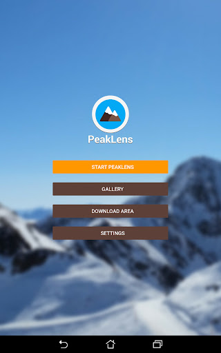


Augmented reality app for precise mountain peak recognition online and offline
PeakLens will transform your mountain activity into an amazing experience, allowing you to get a deeper knowledge of the mountains and to create stunning photos enriched with the most accurate information about the peaks in view. Discover the names and locations of mountain and hills around you while hiking, climbing, skiing, trekking or enjoying your favorite outdoor activity. Test your mountain knowledge and share your pictures of stunning skyline views with your friends on social networks. FEATURES - Precisely identifies mountain peaks and hills in real-time. - Works worldwide: from Alps, Himalayas, Rocky Mountains and Andes up to the smallest hills, anywhere on Earth. - Corrects GPS, compass, magnetometer and gyroscope errors with artificial intelligence. - Works online and offline with pre-downloaded maps. - High quality photographs with peak names in overlay. - Knows position, height and distance from you of more than 200.000 peaks. - Works both with Imperial and Metric unit systems. PeakLens is a novel Augmented Reality and Virtual Reality app for mountain lovers, hikers and trekkers. It is the result of years of research in artificial intelligence and computer vision, based on a novel algorithm that identifies mountain peaks in real time with high precision. Its core is a software component that compares what you actually see in the camera of your mobile phone or tablet with a virtual panorama, created from a digital 3D landscape model of the Earth. By matching what you see and the virtual panorama, PeakLens automatically corrects most errors that come from the imprecision of the compass and GPS sensor, giving you always the most accurate peak positioning. RESOURCES - Digital Elevation Model: the digital elevation model of the SRTM project (https://www2.jpl.nasa.gov/srtm) is used for calculating panoramic views. - Peaks: the Peaks dataset is extracted from Openstreetmap.com. OpenStreetMap is open data, licensed under the Open Data Commons Open Database License (ODbL). PeakLens is a research result of Politecnico di Milano, Dipartimento di Elettronica, Informatica e Bioingegneria. For any comments, questions or feedbacks contact us at info@peaklens.com!
9 years on Google Play
This app isn't currently appearing in any tracked top charts.